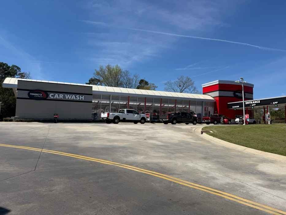
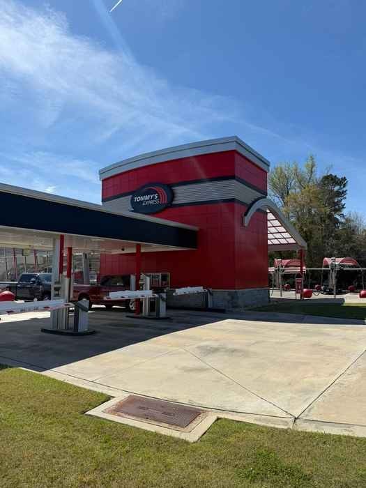
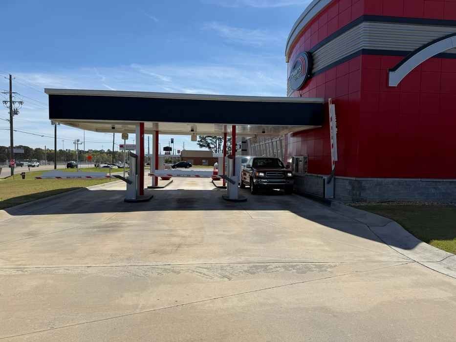
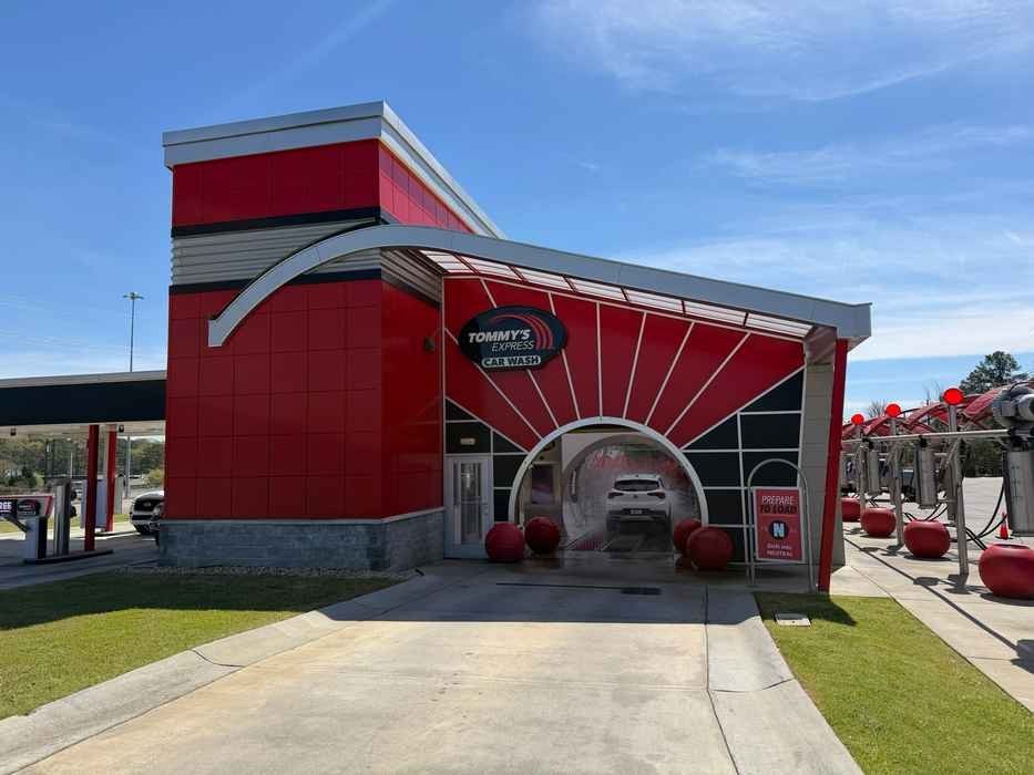
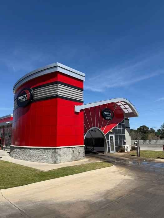
Express tunnel car wash – Macon (1.97 ac; 5,274 SF)
2772 Riverside Dr, Macon, GA
View on Google Maps
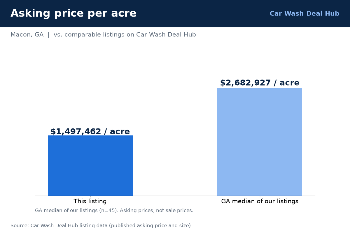
$2,950,000
Highlights
- Built 2019
- 3 pay lanes, 19 vacuums
- Price reduced
Property facts
| Asking price | $2,950,000 |
|---|---|
| Wash type | Express |
| Deal type | Includes real estate |
| Address | 2772 Riverside Dr, Macon, GA |
| Lot size | 1.97 acres |
| Building | 5,274 SF |
| Year built | 2019 |
| Vacuums | 19 |
About this car wash
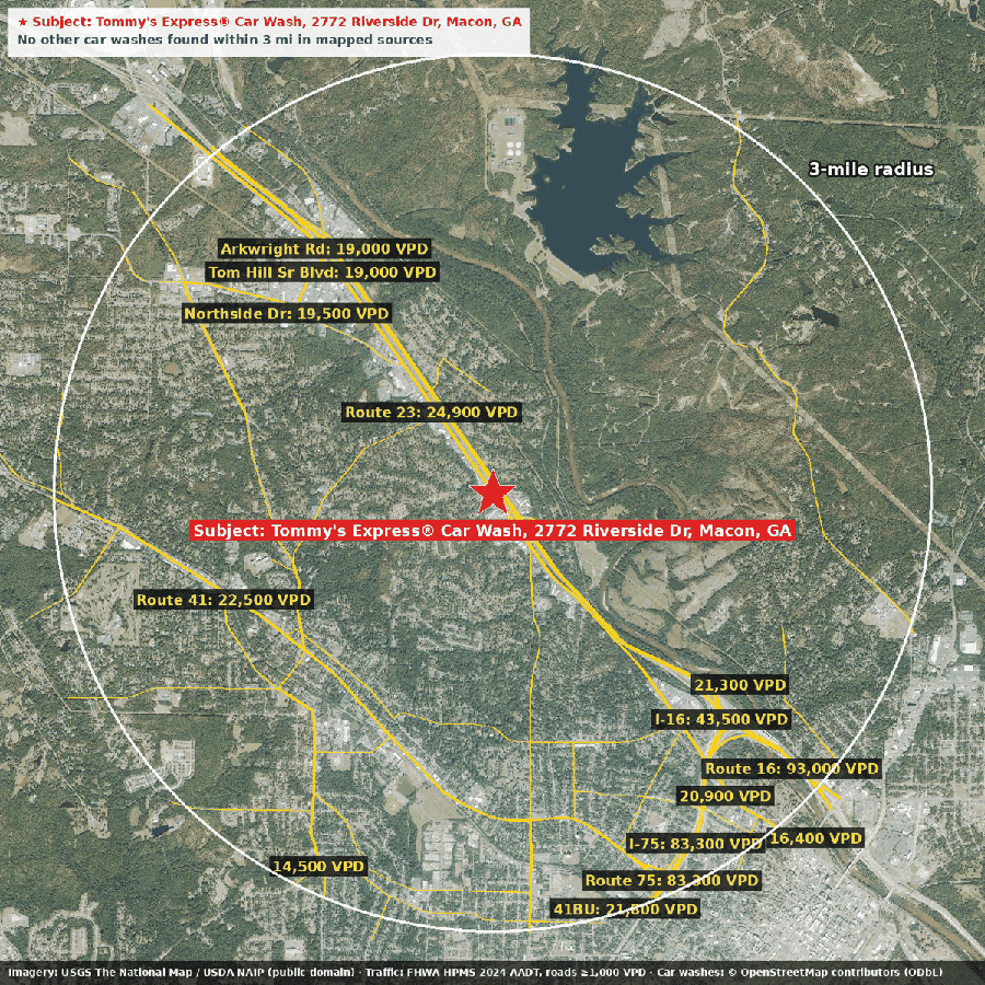
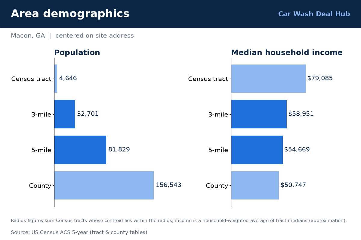
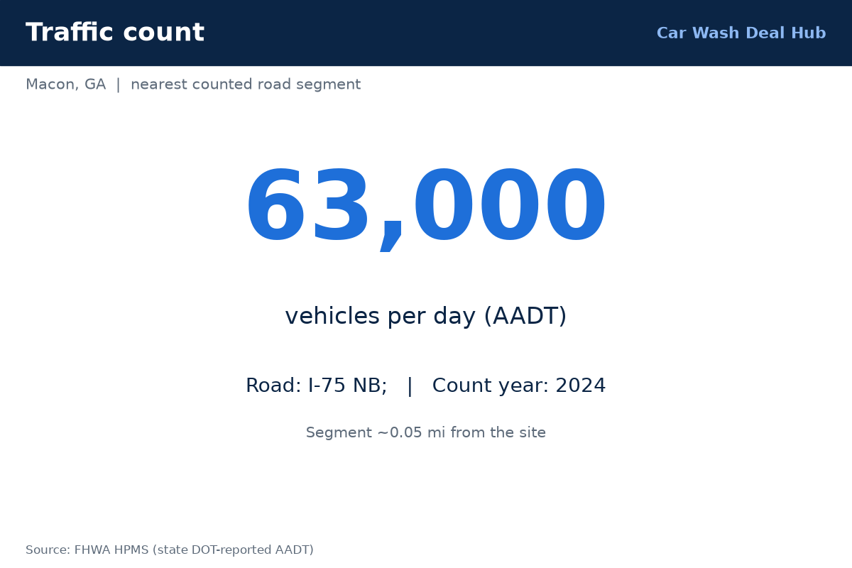
Riverside Dr in Macon, GA carries about 63,000 vehicles/day on the nearest counted segment (2024), and this 2019-built express tunnel sits right there at 2772. The nearly two-acre site has a 5,274-square-foot building, three pay lanes and 19 vacuums, and the price has been cut to $2.95M, with the land and building appearing to be included. Roughly 32,700 people live within three miles, with a median household income near $59,000, and public mapping shows no other car washes in that radius, though that data can be incomplete. Request info to get the financials and full offering.
Financials
Financials available on request.
Traffic
| Vehicles per day (VPD) | 63,000 (2024) |
|---|---|
| Where | Nearest counted road, about 0.1 mi from the site |
| Source | FHWA HPMS |
Demographics
| 3-mile radius (approx.) | 32,701 people · 13,690 households · median household income ~$58,951 |
|---|---|
| 5-mile radius (approx.) | 81,829 people · 32,545 households · median household income ~$54,669 |
Data: U.S. Census ACS 5-year (via Esri Living Atlas); FHWA HPMS traffic counts; © OpenStreetMap contributors; imagery USGS The National Map / USDA NAIP (public domain). Figures are approximate.